Lao drivers are patient, which is good.
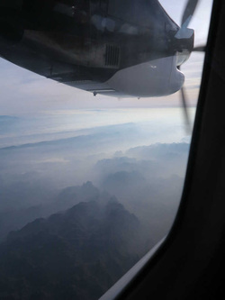
So the prospect of covering any distance by road can be a major undertaking. We flew by Cessna Caravan out to the field site, a flight that's impossible as often as not, so the overland route is the mainstay, and takes about 5 hrs. to Savanaket, where the daily flight to Vientiane is more reliable.
From the dirt airstrip we rode by Land Rover down to Route 28A, also known as the Ho Chi Minh Trail, which maintains the title of the most heavily bombed road in the most heavily bombed country on earth.
One of the first sites that we visit is an eye opener. A section of free-form rice paddies in a high valley between two ridges overgrown with jungle. It hasn't rained since the morning and the sun is steaming the moisture out of the land and the forest. It's hot.
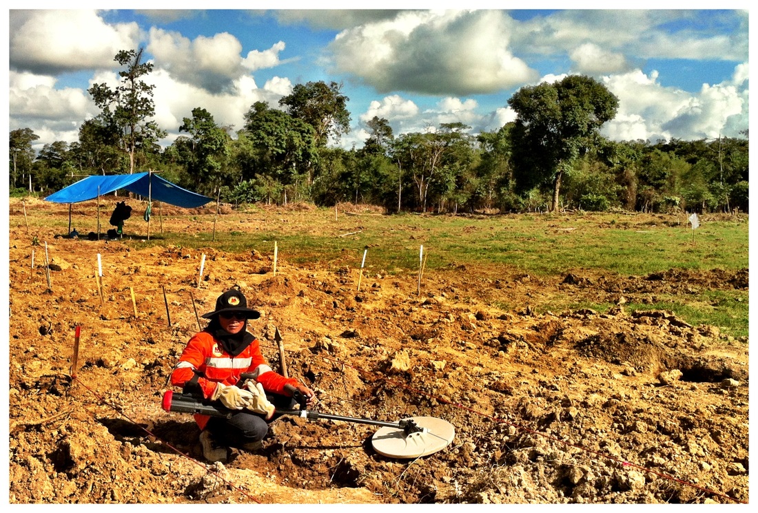
The Lao UXO clearance team is spread out over the field from their makeshift awning to where the creek flows off the edge of the paddy into the forest. A bamboo picnic table is set up under the awning next to the impact crater of a large bomb. We park there and meet the UXO team leader.
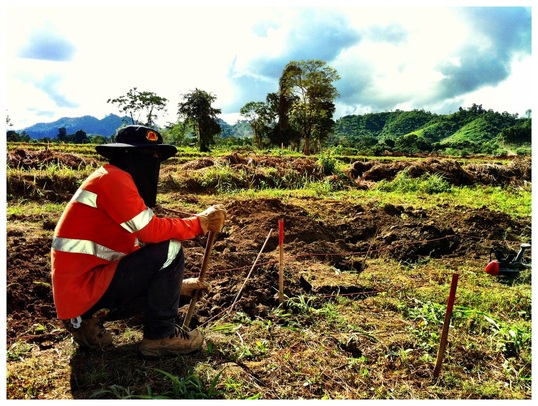
In the surrounding field are over a thousand shovel sized holes spreading up to the forest's edge one or two every couple of feet, indicating where the team had detected and removed bomb frag. The farmer had been tilling through frag for years.
That frag spread, a couple acres in size, was the kill zone of that one, perhaps 500 lb., bomb.
In the field amongst the small frag excavation holes were 4 larger holes marked with bamboo poles and red flags. These were larger, deeper targets, over 2 meters deep. They hadn't been investigated or dug down to yet, because they shared the characteristics of other 500 pound bombs that had failed to explode on impact. They might be armed, or ready to arm themselves, or on a timer with a little bit of dirt keeping it from starting; one never knows.
And that's what we came here to find.
 RSS Feed


